? George Augustus Schultz (active 1734-49)
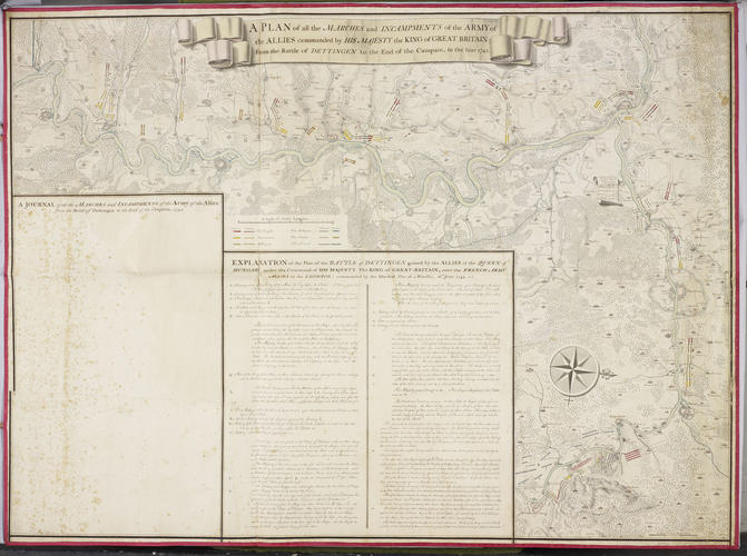
Map of the Battle of Dettingen, 1743 (Dettingen am Main, Bavaria, Germany) 50°02'29"N 09°02'00"E c.1743 or later
RCIN 728103
On 27 June 1743, an army of British, Hanoverian and Dutch soldiers led by George II met French troops outside the small village of Dettingen. Although his situation was desperate, George II managed to break through the French lines and gain victory. Dettingen was the last battle in which a British monarch led the troops, and the first engagement fought by the Duke of Cumberland, who gained widespread praise. This large and elegant map was made as a record of the progress of the allied army during the campaign.
King’s Military Map Collection
Cat. 46
