-
1 of 253523 objects
Wenceslaus Hollar (1607-77)
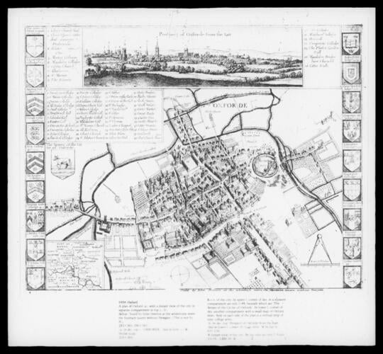
Oxford: plan and map of the city.
RCIN 805329

Wenceslaus Hollar (1607-77)
Oxford: plan and map of the city
-
(a) b.e.v. of city. Compartment of references in upper left corner. In lower left corner, small map of Oxfordshire. On each side, vertical strip of 9 college arms. (b) distant view of city, with references. 1st state.
-
Creator(s)
(print seller) -
Medium and techniques