-
1 of 253523 objects
Admiralty Hydrographic Department
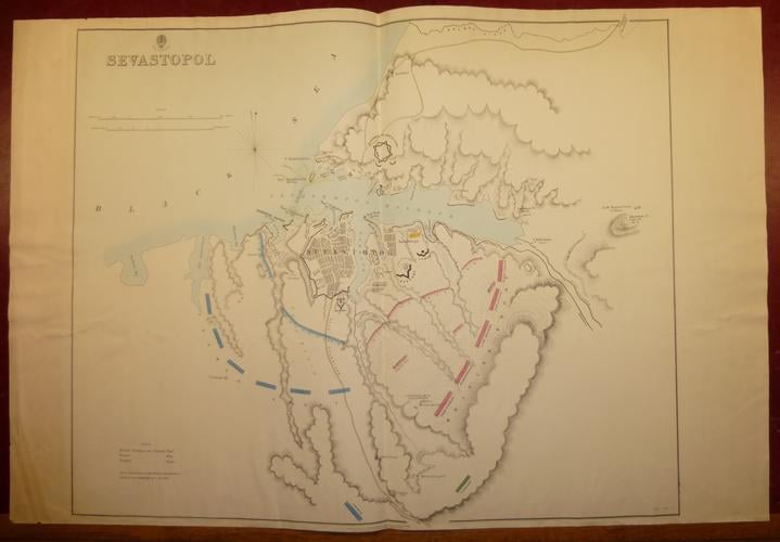
Map of Sevastopol published Nov 1854
Print, watercolour | 68.0 x 101.5 cm (sheet of paper) | RCIN 712352

Admiralty Hydrographic Department
Map of Sevastopol published Nov 1854
-
A map of Sevastopol showing British, French and Turkish positions during the siege of 1854-55; hand-coloured; with a key to the colours, lower left; scales listed, upper left
-
Creator(s)
-
Medium and techniques
Print, watercolour
Measurements
68.0 x 101.5 cm (sheet of paper)