-
1 of 253523 objects
Admiralty Hydrographic Department
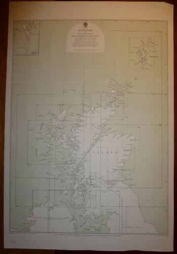
Map of Scotalnd and the adjacent islands published 4 Dec 1873
Engraving | 38.0 x 56.5 cm (sheet of paper) | RCIN 712350.c

Admiralty Hydrographic Department
Master: Maps of England, Ireland and Scotland Item: Map of Scotalnd and the adjacent islands published 4 Dec 1873
-
A map of Scotalnd and the adjacent islands; scale approx 3/16ths of an inch to five miles
-
Creator(s)
(engraver) -
Medium and techniques
Engraving
Measurements
38.0 x 56.5 cm (sheet of paper)
Category
Object type(s)
Subject(s)