-
1 of 253523 objects
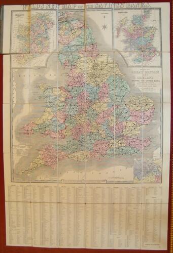
Wyld's new map of the savings' banks c. 1865
Hand-coloured print on paper backed with linen | 102.6 x 68.6 cm (sheet of paper) | RCIN 712336

Wyld, James : Charing Cross East, 457 Strand & 2 Royal Exchange
Wyld's new map of the savings' banks c. 1865
-
A folding map of Great Britain and Ireland, hand-coloured; with black dots indicating the location of savings banks; with locations listed alphabetically below, detailing the year in which business commenced
-
Medium and techniques
Hand-coloured print on paper backed with linen
Measurements
102.6 x 68.6 cm (sheet of paper)
Alternative title(s)
Map of Great Britain and Ireland shewing the savings banks