-
1 of 253523 objects
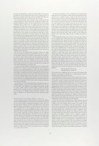
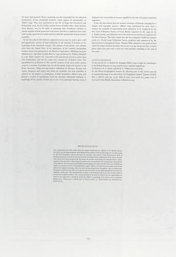
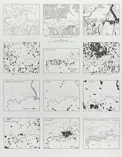
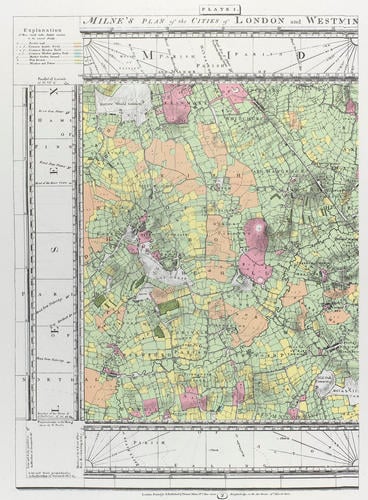
Thomas Milne's Land Use Map of London and Environs in 1800. after drawing of 1800
RCIN 702193
After Milne, Thomas (fl.1780s)
Thomas Milne's Land Use Map of London and Environs in 1800 after drawing of 1800
After Milne, Thomas (fl.1780s)
Thomas Milne's Land Use Map of London and Environs in 1800 after drawing of 1800
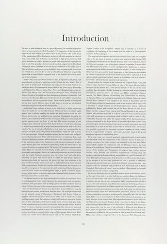
After Milne, Thomas (fl.1780s)
Thomas Milne's Land Use Map of London and Environs in 1800 after drawing of 1800
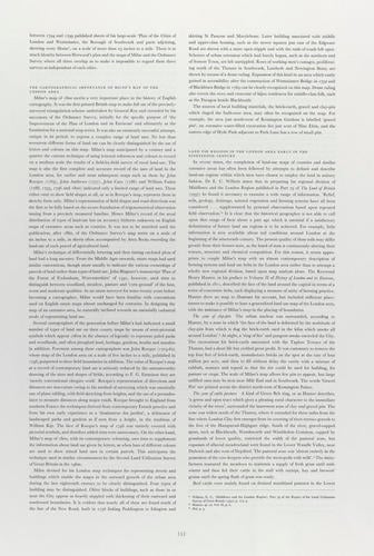
After Milne, Thomas (fl.1780s)
Thomas Milne's Land Use Map of London and Environs in 1800 after drawing of 1800
After Milne, Thomas (fl.1780s)
Thomas Milne's Land Use Map of London and Environs in 1800 after drawing of 1800
After Milne, Thomas (fl.1780s)
Thomas Milne's Land Use Map of London and Environs in 1800 after drawing of 1800
After Milne, Thomas (fl.1780s)
Thomas Milne's Land Use Map of London and Environs in 1800 after drawing of 1800
After Milne, Thomas (fl.1780s)
Thomas Milne's Land Use Map of London and Environs in 1800 after drawing of 1800
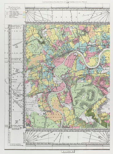
After Milne, Thomas (fl.1780s)
Thomas Milne's Land Use Map of London and Environs in 1800 after drawing of 1800
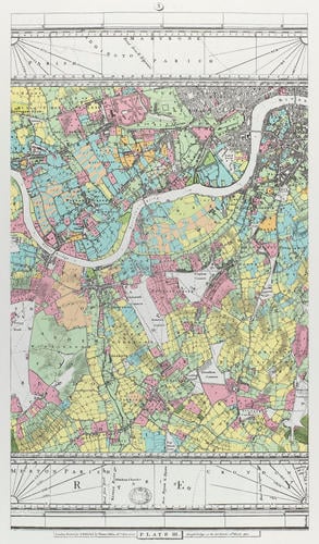
After Milne, Thomas (fl.1780s)
Thomas Milne's Land Use Map of London and Environs in 1800 after drawing of 1800
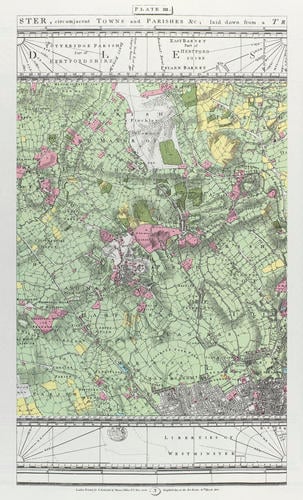
After Milne, Thomas (fl.1780s)
Thomas Milne's Land Use Map of London and Environs in 1800 after drawing of 1800
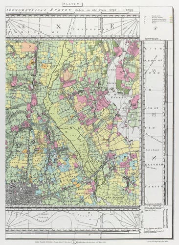
After Milne, Thomas (fl.1780s)
Thomas Milne's Land Use Map of London and Environs in 1800 after drawing of 1800
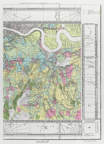
After Milne, Thomas (fl.1780s)
Thomas Milne's Land Use Map of London and Environs in 1800 after drawing of 1800


-
Set of 20C reproductions of 19C map of London, illustrating agricultural usage. Introduction by G.B.C.Bull on 5 pages. 6 illustrations and maps (numbered in parts). Inclosed in brown folder. Original in British Library.
-
Creator(s)
-
Medium and techniques
Category
Object type(s)