-
1 of 253523 objects
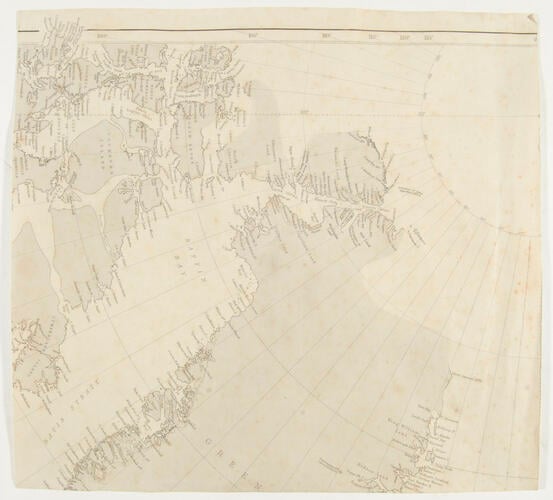
Map of Baffin Bay, Canadian North West Territories and Greenland c. 1876
Engraved map | 32.0 x 29.4 cm (unfolded map) | RCIN 2580125

Map of Baffin Bay, Canadian North West Territories and Greenland c. 1876
-
Section of map showing Latitudes 65 to 90, North-West Territories of Canada, Greenland, seas in between and Arctic Circle. Taken from a larger map.
Provenance
Presented to Queen Victoria by Captain George Nares (1831-1915) in 1876
-
Medium and techniques
Engraved map
Measurements
32.0 x 29.4 cm (unfolded map)
Alternative title(s)
Map of Baffin Bay, Canadian North West Territories & Greenland. [] [Her Majesty's ships the Alert & Discovery, 1875-1876].