-
1 of 253523 objects
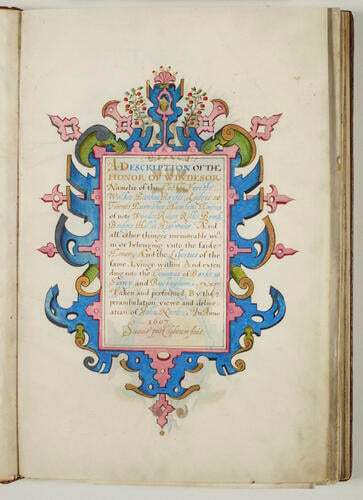
A Description of the Honor of Windesor. 1607
43.2 x 30.0 x 3.8 cm (book measurement (conservation)) | RCIN 1142252
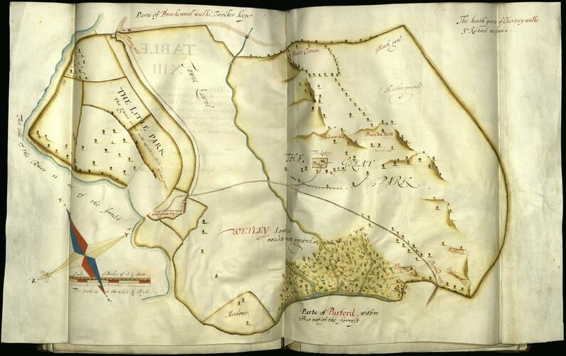
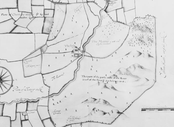
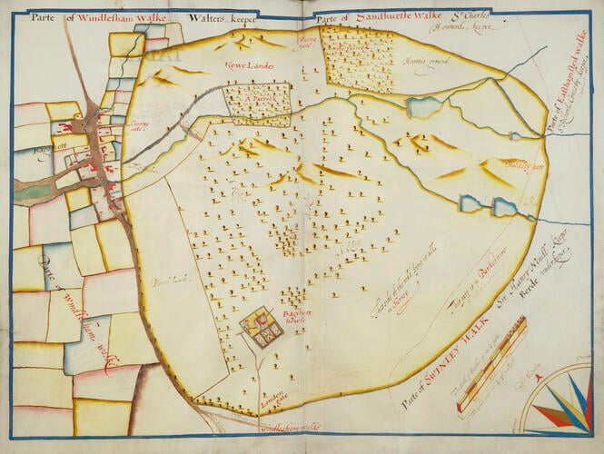
-
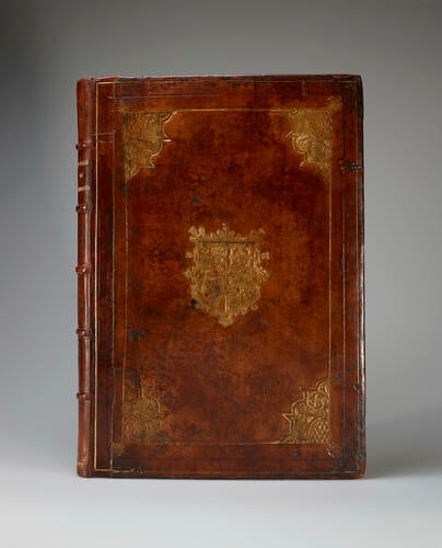
Manuscript on vellum, bound in brown calf with gold tooling, with the arms of Henry Frederick Prince of Wales (1594-1612).
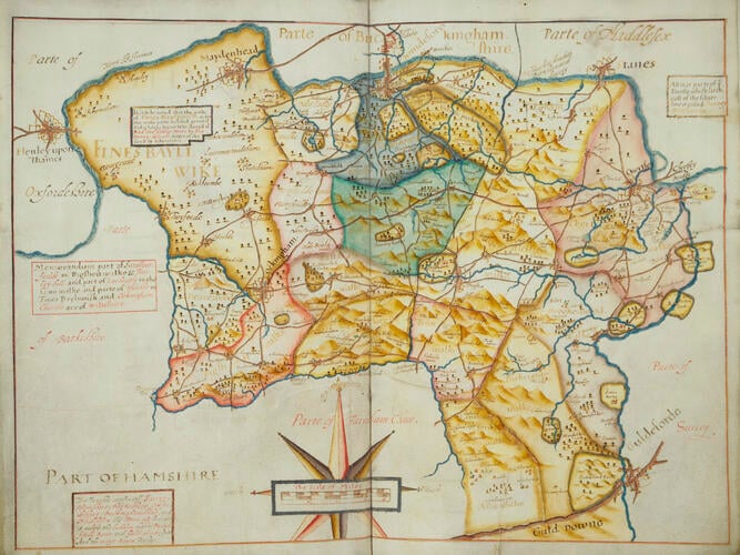
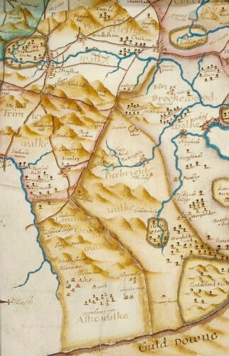
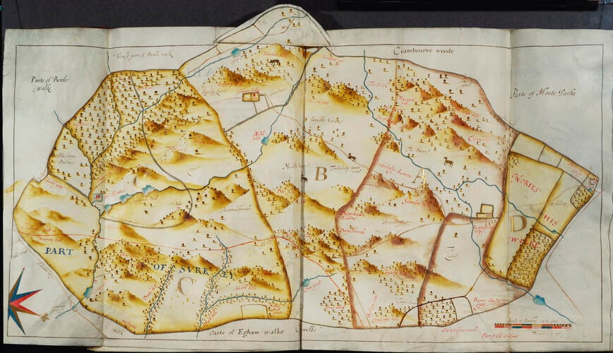
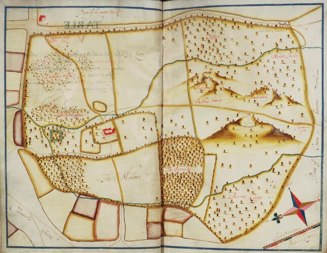
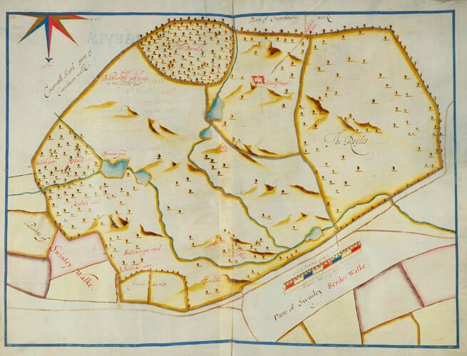
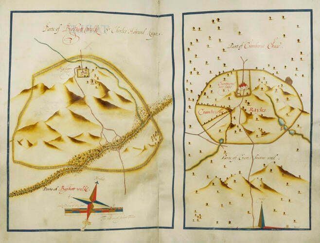
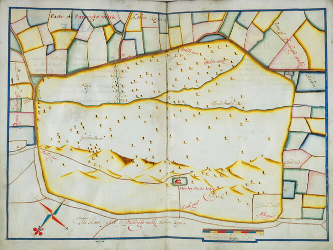
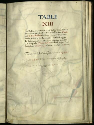
The Survey of Windsor, as this manuscript is usually called, mapped the extent of Crown lands in and around Berkshire for James I, who had inherited the throne of England in 1603. The King’s copy is in the British Library, (Harleian ms 3749). The Windsor copy was made for his elder son, Henry Frederick.
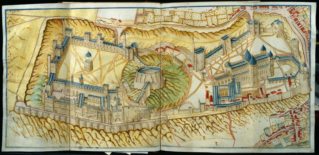
The view of Windsor Castle from the north in Table I, described by Norden as a ‘topographicall deliniation’, includes the nearest part of the town, market cross and bridge on the right. The North Terrace in stone and the long west gallery overlooking it were Elizabeth I’s new additions.
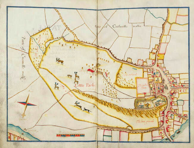
Table III shows the ‘Little Park’ as the Home Park was then known. Windsor town, with a small version of the first table drawn to represent the Castle, and the Guild Hall in the centre of the High Street, can be seen to the right of the picture.
These views show Windsor Castle and the surrounding areas as Shakespeare would have known it, and as he portrays it in his comedy The Merry Wives of Windsor (written c.1597-1600, and first published 1602). Locations mentioned in The Merry Wives of Windsor can be identified in some of the maps, and still exist today. For example, on the third table, the Garter Inn, where Falstaff stays in the play, is shown: the sign of the inn can be seen jutting out into the High Street, next to another inn which was called The Hart. Today, the Harte & Garter hotel is on the site of these two inns. The Little Park is the location of other events in the play, notably Falstaff's visit to Herne's Oak and the Fairy Dell.
The Castle view from the Survey was reproduced as a plan for W. St John Hope's Windsor Castle, London, 1913. Three tables from the King’s copy are in R.R. Tighe and J.E. Davis, Annals of Windsor, London 1858.
Bibliographic format and binding details
Manuscript on vellum. 36 leaves in 18 conjoint pairs mounted on guards, 8 folded inward: unnumbered, f.iv blank; each of the 17 tables, i.e. maps, occupies the inner side of a folded sheet, with description on the recto of the first leaf, the 2nd verso blank; pen detail with both transparent and opaque watercolour.
Brown calf binding. Design identical on both sides. Heavily restored; spine and spine-side of both boards restored in dark brown calf.
Series of alternating blind- and gold-tooled single fillet borders. Inner gold-tooled single fillet border with a gold-tooled floral stamp on each of the outer corners; a gold-tooled corner stamp comprising of architectural and vine motifs; and an inner section with tear-drop shaped decoration. In the centre, the gold-tooled arms of England, Scotland and Ireland, barred in blind (Henry Frederick, Prince of Wales), with an outer architectural frame containing two thistles and three fleur-de-lis.
Restored section of binding blind- and gold- tooled with single line fillet borders to correspond to original binding.
Spine completely restored. Divided into six sections by raised bands, blind-tooled on either side with double fillet lines. In the second compartment, the gold-tooled title: ‘HONOR OF WINDSOR’, in the sixth compartment, the gold-tooled date: ‘1607’.
Armorial stamp very similar, but not identical to, RCIN 1081299 (Add B 14).
Provenance
Drawn up and bound for Henry Prince of Wales, 1607
-
Measurements
43.2 x 30.0 x 3.8 cm (book measurement (conservation))
43.5 x 4.0 cm (book measurement (inventory))
Category