-
1 of 253523 objects
Ogilby's Britannia. 1675
RCIN 1140795

John Ogilby (1600-76)
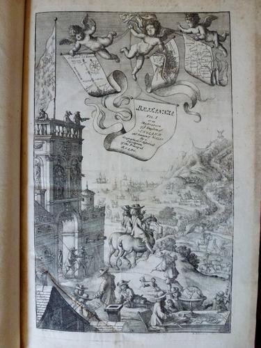
Britannia, volume the first, or an illustration of the kingdom of England and dominion of Wales, by a geographical and historical description of the principal roads thereof . . . / by John Ogilby 1675

John Ogilby (1600-76)
Britannia, volume the first, or an illustration of the kingdom of England and dominion of Wales, by a geographical and historical description of the principal roads thereof . . . / by John Ogilby 1675

John Ogilby (1600-76)
Britannia, volume the first, or an illustration of the kingdom of England and dominion of Wales, by a geographical and historical description of the principal roads thereof . . . / by John Ogilby 1675


-
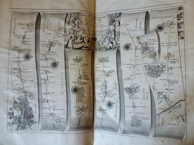
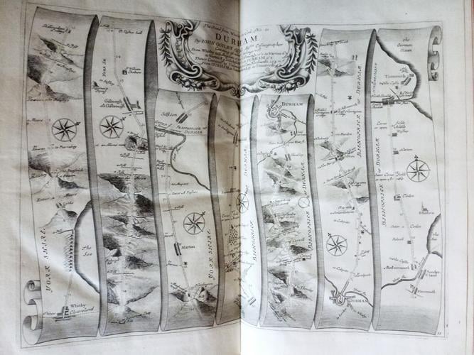
Serving as the culmination of a colourful career which ranged from his origins as a court dancer to attaining the position of Cosmographer to King Charles II, John Ogilby's "Britannia" was one of the first, and most influential, road atlases of Britain. Probably intended to be a multi-volume work covering the entire British Isles, only the first volume on England and Wales was published. Nevertheless, it was an immediate success, primarily due to the use of a standardised scale in each of the plates, and its innovative use of a scroll effect to illustrate the routes. In order to avoid confusion, the maps are relatively minimalist, opting to show only the route concerned, leaving further details to descriptive passages on the following pages.
-
Creator(s)
(publisher) -
Alternative title(s)
Britannia, volume the first, or an illustration of the kingdom of England and dominion of Wales, by a geographical and historical description of the principal roads thereof ... / by John Ogilby.