-
1 of 253523 objects
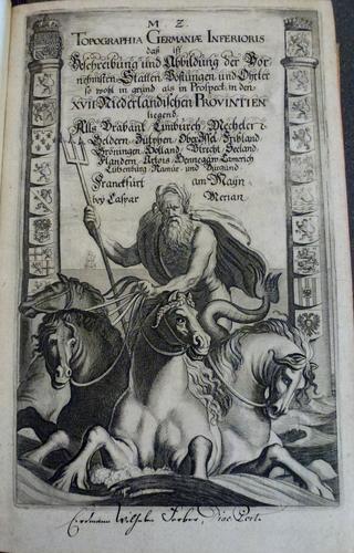
Topographia Germaniae inferioris / by Martin Zeiller. 1659
32.3 x 21.5 x 5.2 cm (book measurement (conservation)) | RCIN 1140386

Martin Zeiller (1589-1661)
Topographia Germaniae inferioris / by Martin Zeiller 1659

Martin Zeiller (1589-1661)
Topographia Germaniae inferioris / by Martin Zeiller 1659


-
This volume, part of a set on the topography of the Holy Roman Empire, was first published in 1659. It covers the territories of the Netherlands and includes numerous detailed engravings and maps of the various cities and towns in the country, accompanied by text written by the German scholar Martin Zeiler (1589-1661).
Zeiler was born in central Austria in 1589 but his family, being Protestant, was forced to leave the country and as a result Zeiler was educated in the city of Ulm. He later moved to Wittenberg to study law and history but returned to Ulm in 1629 and began to publish multiple works on history and topography. Around 1640, Zeiler was approached by the publisher and engraver Matthäus Merian (1593-1650) to write the text for his multi volume work which aimed to collate his many detailed engravings of German, French and Italian towns. The enterprise ran to over 60 volumes, a huge endeavour for the seventeenth century, and employed notable engravers such as Wenceslaus Hollar. Merian died in 1650 but his sons managed to complete the publication with the final volume published soon after Zeiler's death in 1661.
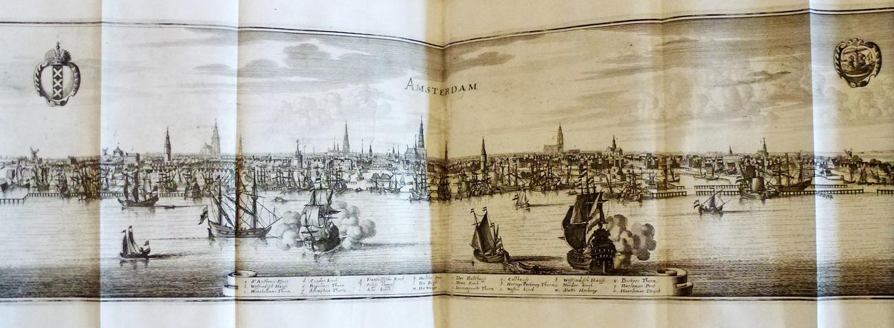
The engravings in these volumes are very detailed and often depict birds-eye or panoramic views of cities and notable estates throughout France and the Holy Roman Empire. There are for example, multiple panoramas of the major Dutch ports on the North Sea.Provenance
Acquired by William IV, 1830-37
-
Creator(s)
Acquirer(s)
-
Measurements
32.3 x 21.5 x 5.2 cm (book measurement (conservation))
32.5 x 22.0 x 5.0 cm (book measurement (conservation))