-
1 of 253523 objects
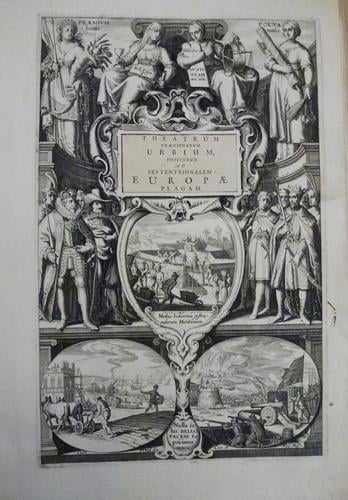
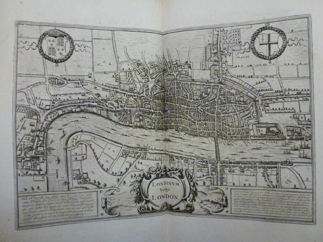
Illustriorum principumque urbium septentrionalium Europae tabulae. c.1660
50.3 x 34.0 x 5.0 cm (book measurement (conservation)) | RCIN 1125313

Jansson : Amsterdam
Illustriorum principumque urbium septentrionalium Europae tabulae c.1660

Jansson : Amsterdam
Illustriorum principumque urbium septentrionalium Europae tabulae c.1660


-
Johannes Janssonius was a Dutch cartographer and publisher who, in the mid seventeenth century, published numerous atlases of the world and various town plans of major cities. This undated collection of town plans of towns in Northern Europe, Russia and the British Isles appears to have been collated from maps previously published by cartographers including John Speed (1552-1629) as there are multiple stylistic differences between the various maps. The maps themselves appear to date from around 1580 to the early seventeenth century, but the text suggests a later date of c. 1660 due to the style of type used.
-
Creator(s)
(publisher) -
Measurements
50.3 x 34.0 x 5.0 cm (book measurement (conservation))
Category